countries <- rnaturalearth::ne_countries(scale = "medium", returnclass = "sf")

flag_map <- function(name, iso2, px = 200) {
  poly <- st_transform(countries[countries$admin == name, ], 4326)
  bb <- st_bbox(poly)

  file <- tempfile(fileext = ".png")
  download.file(sprintf("https://flagcdn.com/w640/%s.png", iso2),
                file, quiet = TRUE, mode = "wb")
  img <- magick::image_read(file)
  img <- magick::image_flatten(magick::image_background(
    magick::image_scale(img, as.character(px)), "white"))

  cells <- magick::image_raster(img)
  cells$color <- substr(cells$col, 1, 7)
  cells$lon <- bb["xmin"] + (cells$x - min(cells$x)) /
    diff(range(cells$x)) * (bb["xmax"] - bb["xmin"])
  cells$lat <- bb["ymax"] - (cells$y - min(cells$y)) /
    diff(range(cells$y)) * (bb["ymax"] - bb["ymin"])

  vplot(cells) |>
    mark_raster(x = lon, y = lat, fill = color) |>
    scale_fill_identity() |>
    clip_to(poly) |>
    coord_sf() |>
    theme_void() |>
    labs(title = name)
}Flags poured into their borders
Spatial
Effects
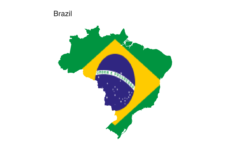
clip_to() masks a plot to an sf geometry instead of the panel rectangle, so a country’s flag fills the country’s own outline.
A plot normally fills a rectangle. clip_to() swaps that rectangle for any shape: give it an sf geometry and every mark is masked to the outline. Here the mark underneath is a raster of a national flag, stretched across the country’s bounding box, so the flag ends up wearing the country’s own silhouette.
The recipe reads a flag PNG with magick, turns its pixels into a grid of coloured cells, stretches that grid over the country’s bounding box, and hands the outline to clip_to(). scale_fill_identity() tells mark_raster() to use the pixel colours verbatim rather than mapping them.
Brazil’s borders are jagged enough to be unmistakable, and the flag’s green edge keeps the silhouette crisp against the page.
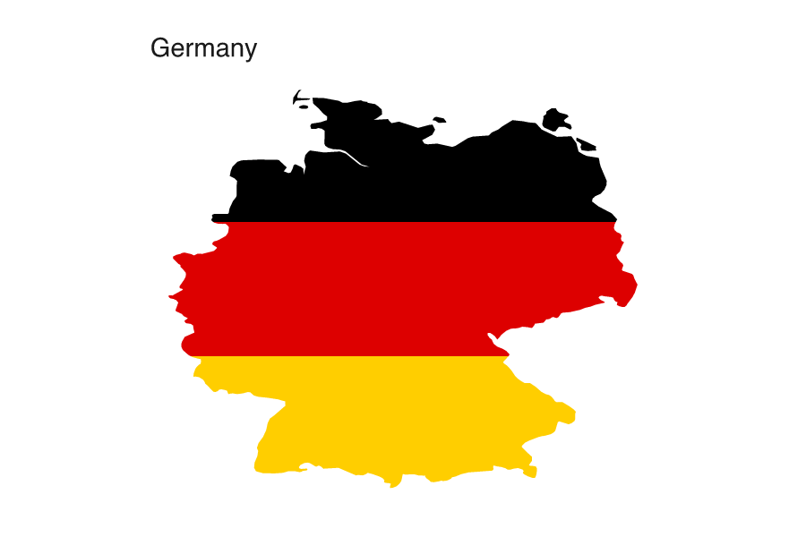
The same function works on any single-body country. Germany’s three bands and Kenya’s central shield come through with the flags stretched to fit.
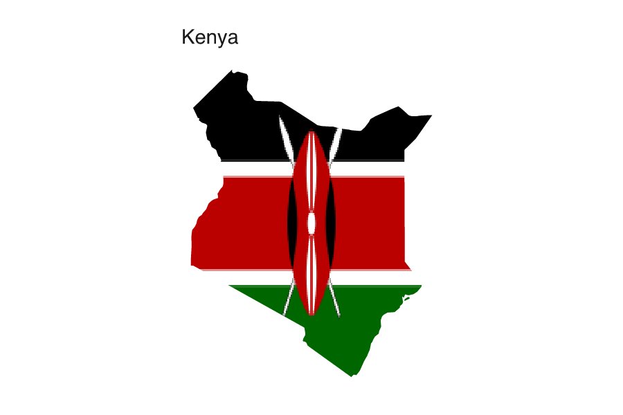
Two things to watch. The flag is stretched to the bounding box, so a tall country squeezes a wide flag; that distortion is the price of filling the real outline. And a white stripe disappears against the page: Italy’s or Japan’s white would leave a gap where nothing marks the silhouette, so this reads best with flags that stay coloured edge to edge.
clip_to() is the hard-edged member of a small family. clip_to(poly, invert = TRUE) punches the shape out as a hole instead of keeping it. clip_layer() masks only the most recent layer, so a raster field can sit inside the country while boundaries or city points drawn afterward stay full-bleed on top. And set_mask() fades the panel toward its edges with a soft radial vignette rather than a hard cut, and renders as a true feathered mask in PDF.